
Innovation in business networking & telecommunications is our concern. We propose very high resolution digital surface, terrain, clutters and height models to optimize your RF and 5G network. Our solutions reduce your geodata costs 10x, while ensuring wide area coverage.
We bring innovation and digital transformation to our customer assets while ensuring compliance with security norms. We also design, build high tech systems and mapping solutions according to customer requirements.
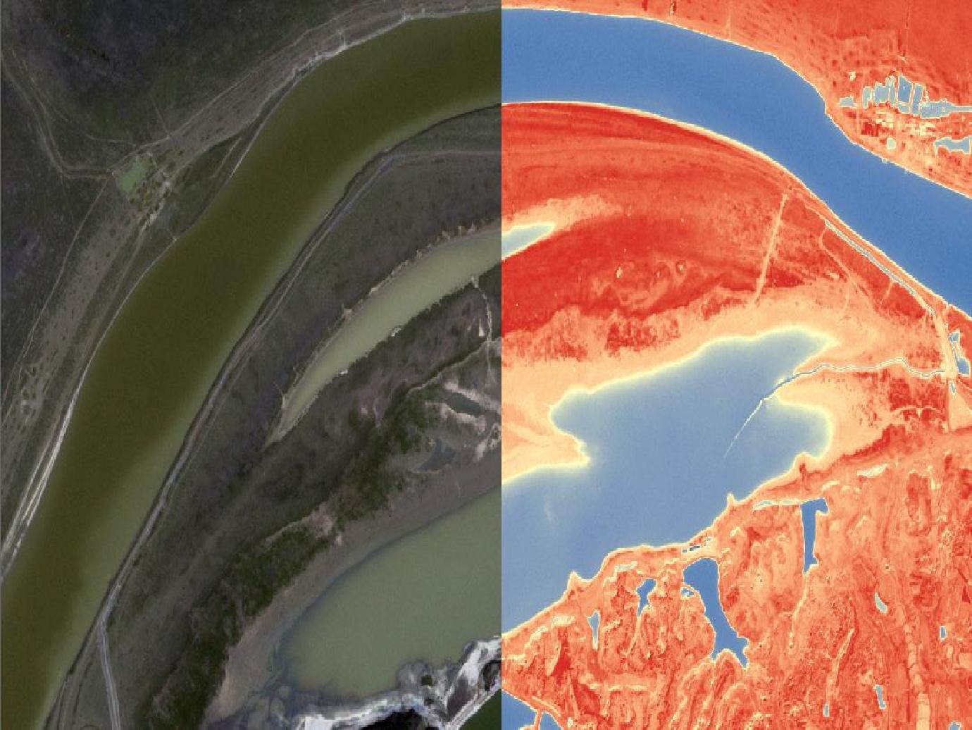
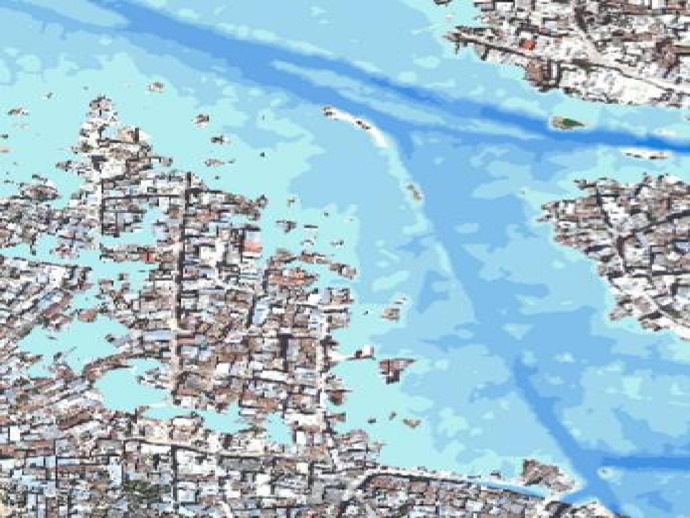
Water resources management requires knowledge of hydrological, hydraulic, ecological and socio-economic factors. Monitoring these resources using remote sensing data is one of our major assets. We propose : Digital Surface and Terrain Models for hydrological studies. Extraction of water bodies and wetlands mapping. Bathymetry and quantification of water volumes in lakes or dams by remote sensing imagery.

Due to industrial development and climate change, there is a pressure on raw materials. It is thus important to know the available forest resources in order to achieve sustainable forest management objectives. The main activities that we do : Mapping and updating forest inventory from different images. DEM and DTM generation. Forest dynamics studying and change detection. Mapping of forest burnt areas and aid in fires controlling.
Damages caused by natural and industrial disasters impact population, economy and insured property. It is important to assess damages and costs related to these incidents as fast as possible. We propose : A special service 24/7 that contibute in the natural or/and industrial disasters assessment. We use satellite and aerial imagery to produce crisis maps focusing on damages and costs estimation. Crisis analysis before and after to ensure the continuity and the evolution of the incident for better understanding.
We provide mapping solutions that integrate offline 2D, 3D basemaps, itinerary finding, geolocation and tracking in real time basis.